 The main access to Foxton is along Station road, which runs from its
junction with the A10 near the Railway Station (at the top edge of this
sketch map)to meet the High Street at a T-junction.
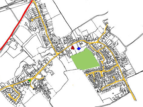
The main access to Foxton is along Station road, which runs from its
junction with the A10 near the Railway Station (at the top edge of this
sketch map)to meet the High Street at a T-junction. The map also shows the Village Green (at West end of the High Street), the Parish Church (marked in blue) and the Village Hall (dark red). The large green area near the Church and Hall is the Recreation Ground.